
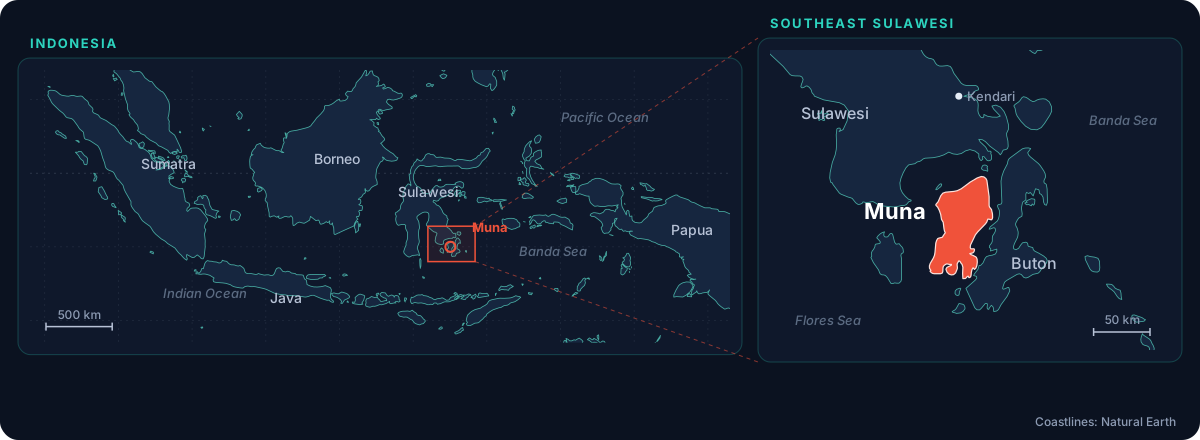
On Muna Island, the caves are part of daily life. Villagers pipe drinking water up from them, wash laundry in them and swim in them with their families. The same caves hold fossil coral reefs, cave animals and pottery left by people long ago. In 2026 the Bahamas Caves Research Foundation began a multi-year partnership here, to help understand these caves and protect the water that flows through them.
The 2026 expedition
From August 16 to September 2, 2026, the team explored 11 cave and karst sites over 14 field days, with 11 cave dives and 3 dry-cave explorations. Along the way they:
- recorded where caves supply water to villages, and where that water is at risk
- placed 8 temperature loggers at 6 sites, to start a long-term record of the water
- mapped passages with the MNemo, Caveway X1 and Pinger 2.0
- documented geology, wildlife and cultural material, leaving cultural finds undisturbed
The diving team was Brian Kakuk, Dr. Kenneth Broad, Dr. Scarlette Hsia, Robin Cuesta and radiolocation specialist Ken Smith, with support from Max Braun (film), Kharisma Yuda (MAHIPAL, ropes), Sulawesi Dive Trek and Kadena Dive Resort.
What the caves hold
Water. Muna's limestone lets water move quickly underground, so what happens on the surface can reach a village's water supply fast. A deep fracture cave near Watorumbe Bata supplies drinking water to Ayo Vuou village. Knowing where that water comes from is the first step to protecting it.
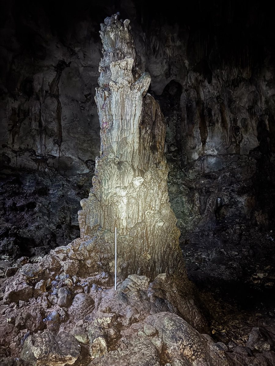
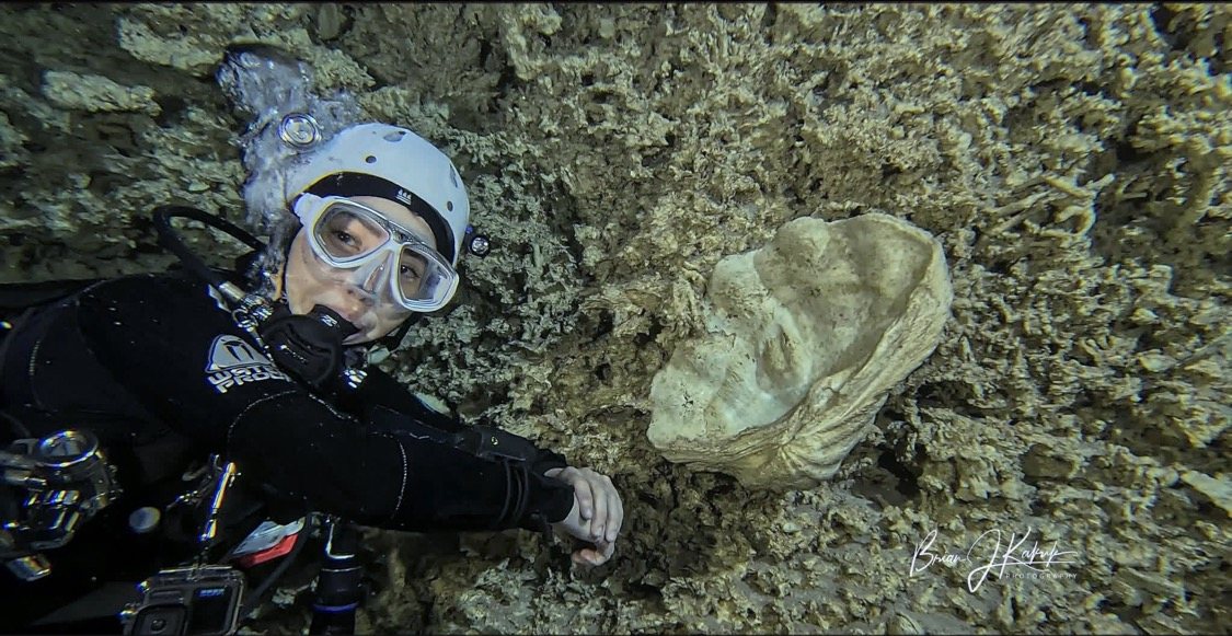
A record of the past. Cave formations grow in layers that can preserve clues to past rainfall and temperature. Giant columns rise in Liang Kalolai, and fossil corals, shells and giant clams are set in the walls of several flooded caves, the remains of reefs now raised above the sea.
Life. The team saw pipefish, eels and a cave fish, Diancistrus typhlops, as well as shrimp, remipedes and copepods, and a colony of more than 150 fruit bats.
People. Pottery, charcoal and graves were found in several caves and left undisturbed. Some were recorded in 3D from video, so they can be studied without being touched.
Launching a doctoral career
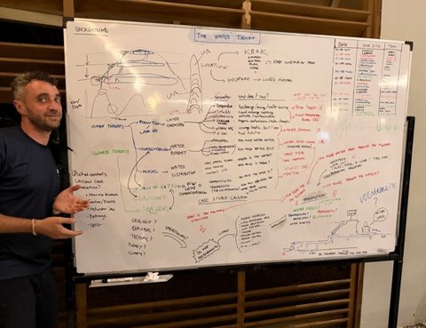
A central goal was to equip Robin Cuesta, a doctoral researcher in environmental science at Gadjah Mada University, to carry on this work on his own. The foundation provided dive and mapping equipment and temperature loggers, lent him a pneumatic coring drill, trained him on the pinger, the drill and salinity readings, and worked with him on a research plan. His doctorate will map Muna's flooded cave systems and study how their fresh water responds to the tides and to rain, and how sensitive it is to salt water.
What comes next
The next field seasons turn to steady, independent data collection: recovering the loggers, checking the maps, and building records of water and habitat over time. Just as important is working with the people who use the caves every day, on how the sites are cared for, how results are shared, and a cave clean-up with local households.
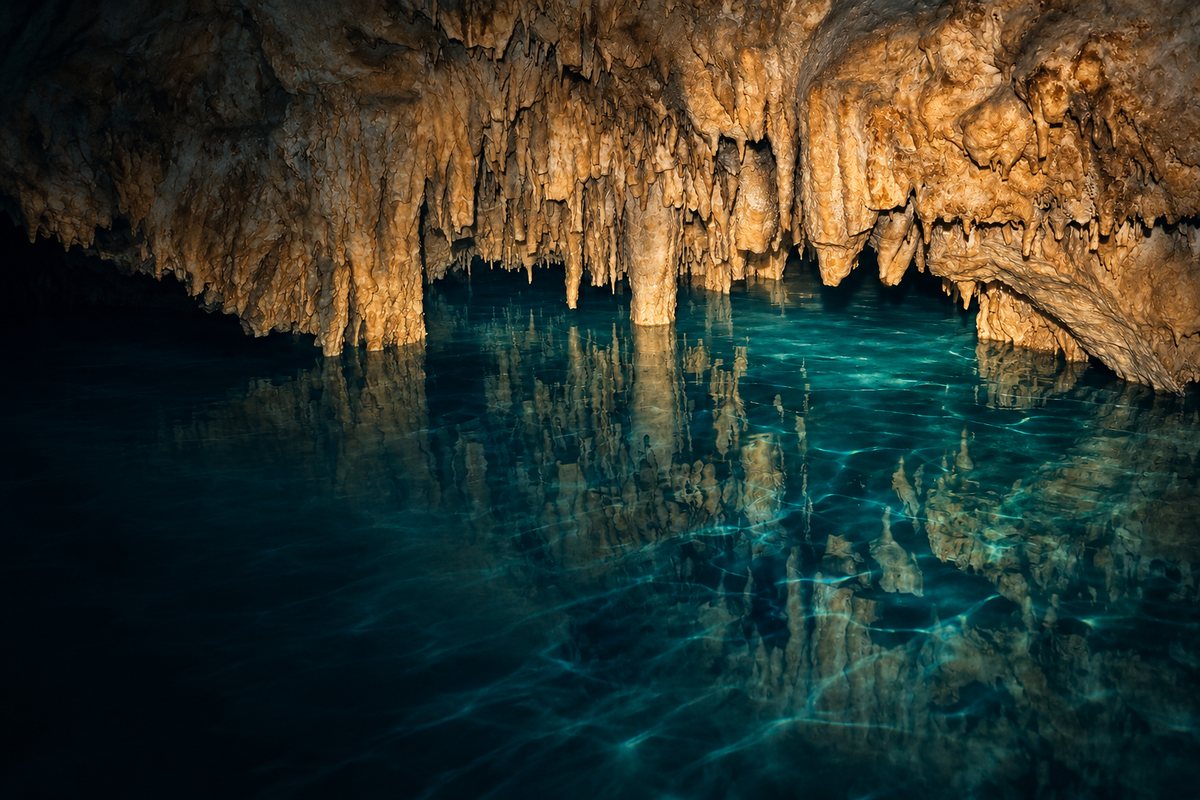
Laulawi Cave
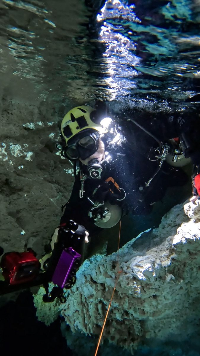
A dive in Laulawi Cave with guide Robin Cuesta of Sulawesi Dive Trek. The divers are Kenny Broad, Scarlette Hsia, Robin Cuesta and Brian Kakuk.
